HIGH DETAIL
AERIAL MAPPING

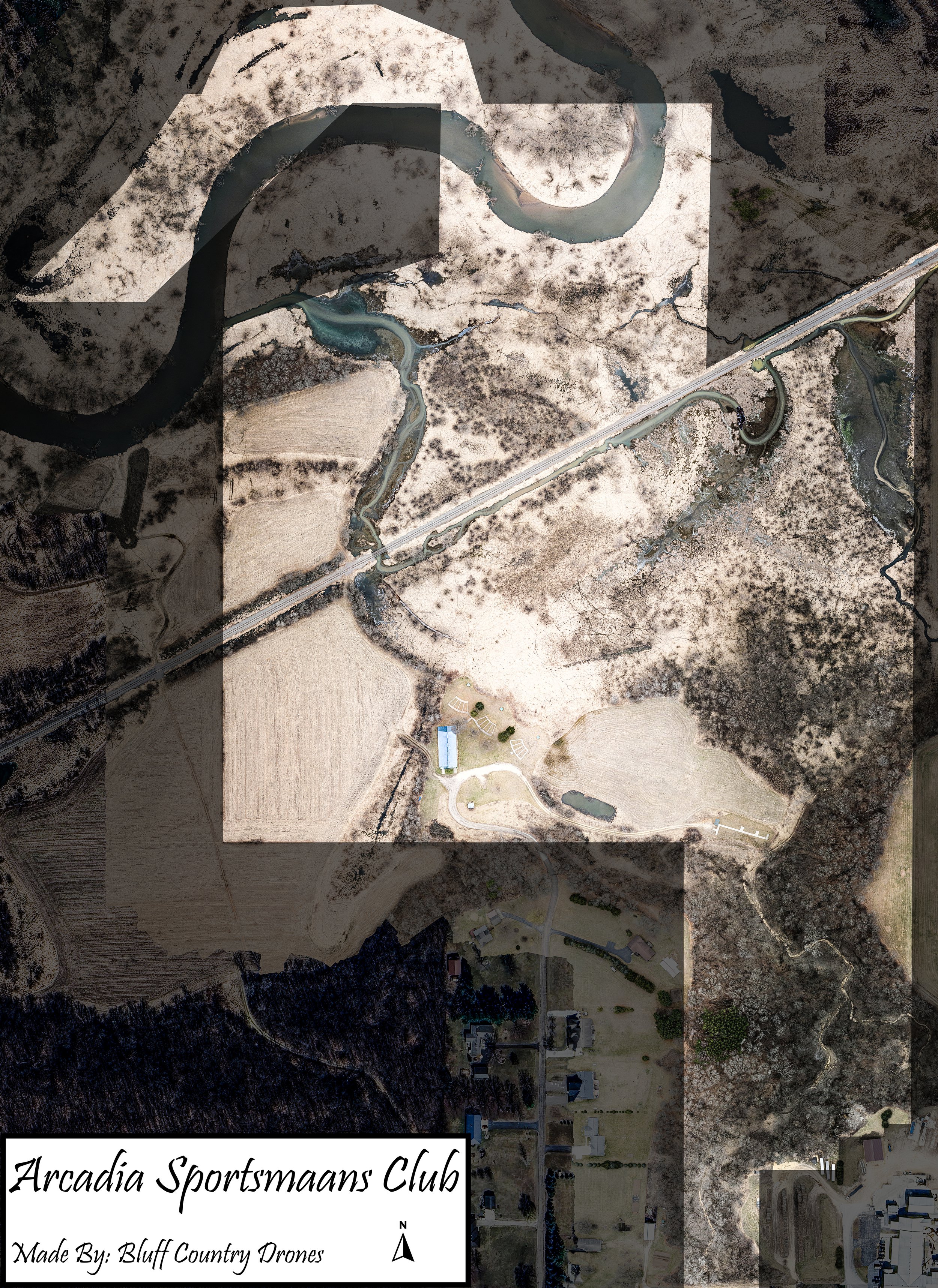
NEW Aerial Mapping services available! These aerials are stitched together from 100s of high res images stitched together into one photo. A lot higher quality than satellite imagery with your current property layout/features. Give us a call/text the time of year that you want your aerial photo and we can make it happen. Pick the size of map you want, the option of shaded boundaries, and the title of your farm. You will receive a PDF file of your image for future prints and we will assist in get the initial printing done. Check out the difference below between our highly detailed maps and regular satellite imagery!
Base price starts at $350 and depends on acreage (not including printing costs).